From this distance, the earth seems almost insignificant, so small, inconsequential, even.
As this marble-like dot comes into view, we can see all of Earth’s challenges are
omnipresent
omnipresent
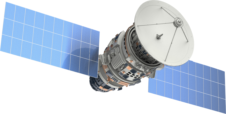
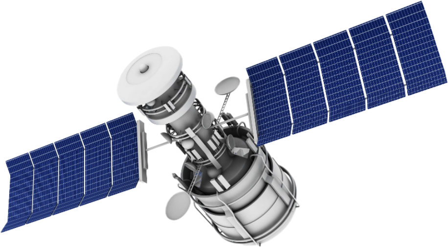
Peering down at us are hundreds of sensors, like curious eyes.
Eyes that can see through the thickest of cloud, that see the complex ecosystems and lifeforms that make up the heart and lungs of our Earth. Glance into the sky on any given day. You won’t know it, but your eyes will meet with those curious, peering eyes above us. Here, they’re collecting petabytes of valuable data, capable of saving lives and our environment.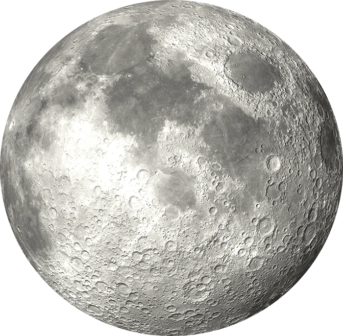
The International Space Station circles the earth from 400km above us.
On board the ISS is a sensor that uses lasers to penetrate our atmosphere, striking the earth and collecting valuable knowledge about our planet’s most valuable assets.The International Space Station circles the earth from 400km above us.
On board the ISS is a sensor that uses lasers to penetrate our atmosphere, striking the earth and collecting valuable knowledge about our planet’s most valuable assets.ESA Sentinel 2 (Optical)
786 km above earth
ESA Sentinel 2 (optical)
786 km above earth
693 km above earth
693 km above earth
400 km above Earth
400 km above Earth
On-ground data collected to
validate and calibrate Biome products
validate and train Biome proudcts
This data unlocks information and knowledge that we can use to protect and prolong the fragile heart and lungs of our Earth.
Ozius Biome opens the vault to this data, with easy to understand insights available within minutes.
This data is thanks to the Global Ecosystem Dynamics Investigation created by the University of Maryland in collaborations with NASA Goddard Space Flight Centre – one of the most valuable data sets ever collected.
Ozius uses our data fusion and environmental science expertise to blend GEDI, ESA’s Sentinel 1 and 2 and on-ground information to create new environmental intelligence.
Introducing
Open the vault of opportunity through data. We help businesses save the planet through environmental analytics.
Simplify how you work, enhance decision making, and gain better visibility and control while you’re at it. Ozius utilises the environmental data provided by satellites to make measuring and monitoring environmental change easy, because we’ve done the hard work for you.
Identify carbon trading opportunities
Identify and monitor carbon trading opportunities through integrated business intelligence data. Scan large areas to assess investment opportunities.
Be prepared for bushfires
Assess bushfire hazards with improved data for risk modelling and find landscapes requiring backburning efficiently to approach the bushfire season with better preparation.
Optimise how you work
Ozius Biome allows you to streamline your research and field programs. Assess sites prior to field campaigns and optimise field site selections and resources to target representative areas.
Enhance decision making
Reduce gaps in knowledge through nationally consistent and current landscape intelligence.
Monitor widespread forest inventory and deforestation
Find and monitor widespread deforestation quickly through AI-enabled technology and dynamic data sets.
Better decisions quicker
Our customers are reporting a reduction in time from investigations taking months, to having answers within days.
Rare-event detection
Be notified of rare events affecting your high-value assets. Respond to key events and receive updates on current projects as the landscape changes, to optimise how you react and adapt in the field.
